Wondering where to go for a scenic hike, a brisk walk or a gentle stroll in Ottawa and areas nearby, including parts of Ontario and Quebec? Here are a few ideas to get you started.
Note: Please, please, please use trails responsibly! For instance, don’t pick flowers, don’t wander off the trail and don’t leave litter behind. Here’s a good summary of the most important ethical hiking guidelines.
Hikes and walks within the Ottawa city limits
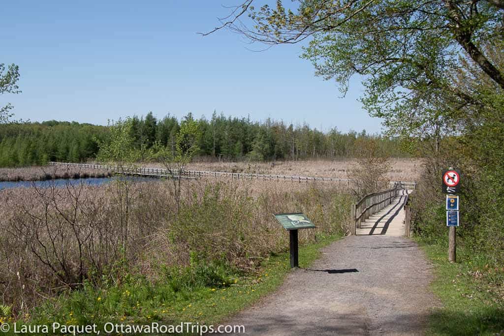
- Mer Bleue: On Ottawa’s southeastern edge, this National Capital Commission (NCC) site includes a 1.2-kilometre accessible boardwalk through an ancient peat bog. The bog and the surrounding geography create a microclimate, meaning that you’ll see plants here typical of areas much further north. On the ridge surrounding the bog, you can explore some 20 kilometres of pretty flat wooded trails. Note: Some trails here are still being rehabilitated after the May 2022 derecho storm; here are the latest updates from the NCC.
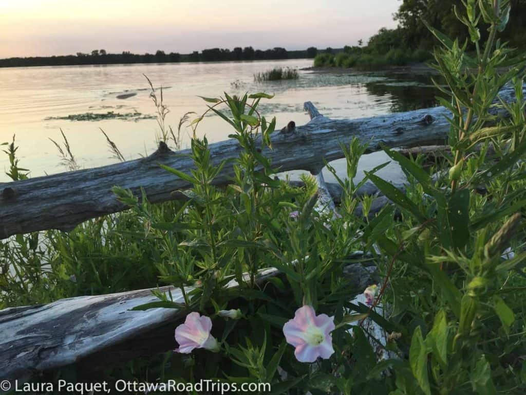
- Petrie Island: Drive to the north end of Trim Road in Orleans and you’ll find this island—actually, a collection of islands—in the Ottawa River. In summer, the beaches here are busy and you’ll have to pay for parking. Seven kilometres of gentle trails offer great river views.
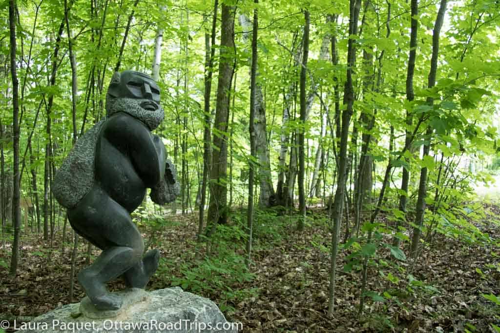
- Humanics Sanctuary Sculpture Park: This one-of-a-kind woodland on the edge of Cumberland village is studded with sculptures from around the world reflecting themes of peace, justice, non-violence and human development. Hilly trails take you through the 3.6-hectare (9 acre) forest. Admission fee.
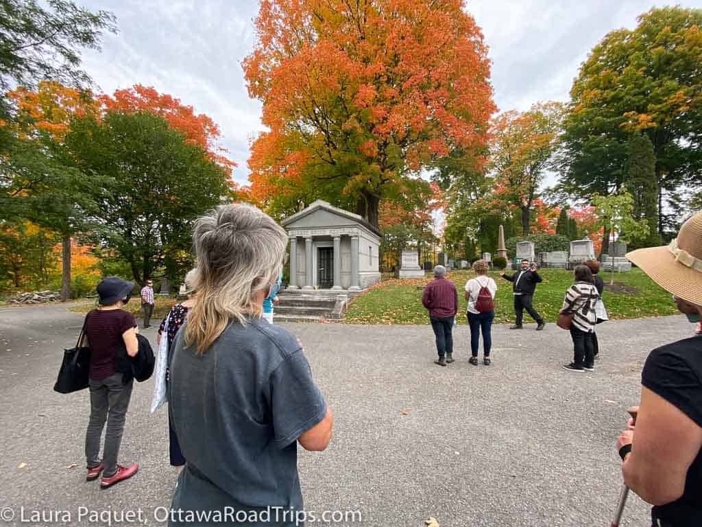
- Beechwood Cemetery: Walking in a cemetery? It might sound a bit odd, but Beechwood Cemetery is actually a glorious place to stroll around. Established in 1873, it was designed to resemble an English country graveyard, with parklands, gardens, hills and natural features such as rocky outcrops. Check the cemetery’s website for information on their guided walking tours. Most are free, but some feature costumed actors and have a fee.
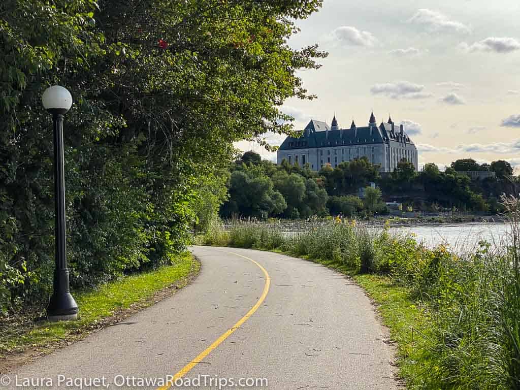
- NCC Capital Pathway network: You can walk, run, cycle or inline skate along more than 600 kilometres of recreational pathways that cut across much of Ottawa and Gatineau. They include routes along the Rideau Canal, the Rideau River and the Ottawa River, and through the Greenbelt.
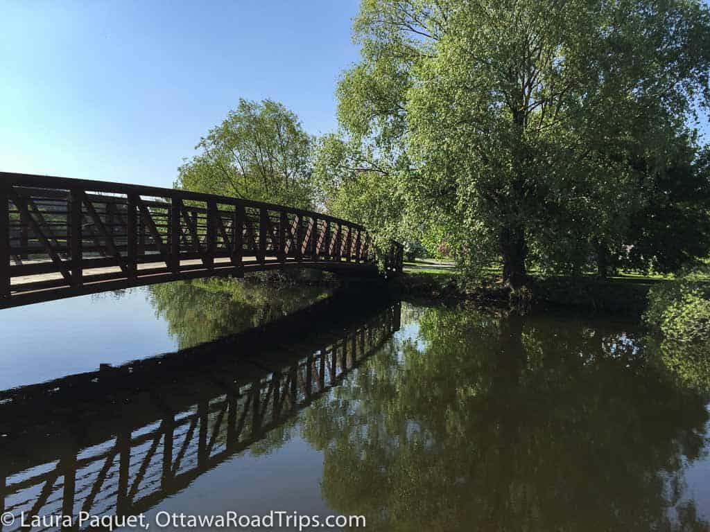
- Central Experimental Farm and the Fletcher Wildlife Garden: From a smaller parcel of land set aside for agricultural research in 1886, the Central Experimental Farm has grown into a 427-hectare (1,055 acre) working farm just southwest of Dows Lake. In 1889, the government planted the first 200 trees and shrubs in land set aside for the Arboretum, which now features over 1,000 trees. Also on the farm, you’ll find the Fletcher Wildlife Garden—named for Canada’s first Dominion botanist—where you can learn about local plants and find out how to make your home garden wildlife friendly.
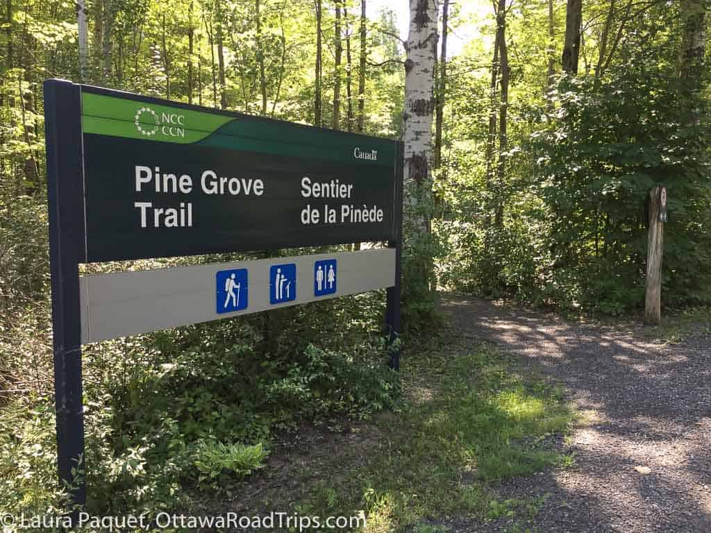
- Pine Grove: Drive 10 minutes from the busy South Keys Shopping Centre and you could find yourself meandering along 18.4 kilometres of wooded paths at Pine Grove, the biggest forest in the Greenbelt. Learn about forest management and tree species from the interpretive panels along Trail 43, and look out for wee fairy doors at the bases of some trees on Trail 44. Note: Some trails here are still being rehabilitated after the May 2022 derecho storm; here are the latest updates from the NCC.
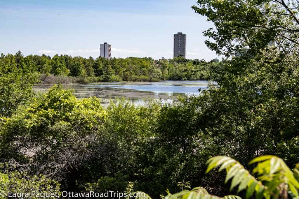
- Mud Lake/Britannia Conservation Area: OK, I know “Mud Lake” is probably the least-inspiring name imaginable, but trust me—this west-end spot at the northern end of Britannia Road is worth checking out. It’s rich with all sorts of wildlife, including turtles, frogs and, most notably, all sorts of birds. (The Ottawa Field-Naturalists’ Club has a great article about birding in the Mud Lake area.) Note: This is one of the very popular trails I mentioned earlier, so visit early in the day if possible and be extra gentle—thank you!
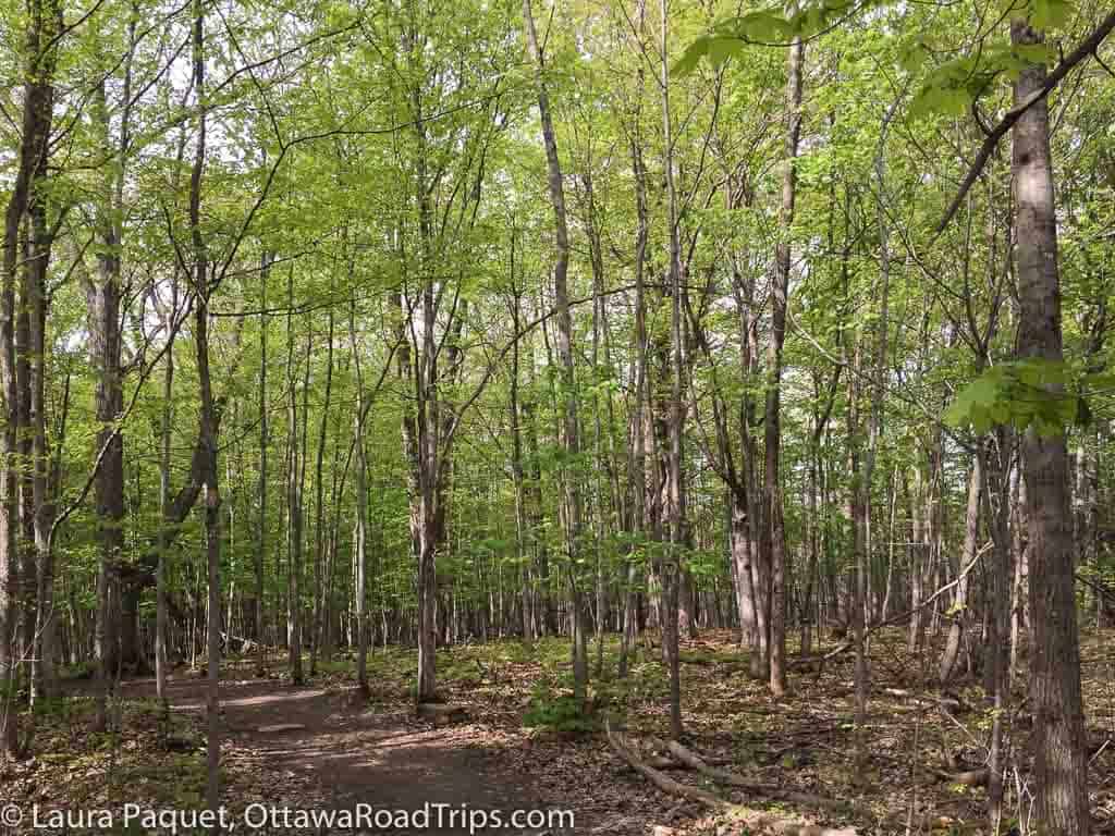
- Stony Swamp: This beautiful hiking area also suffers from an unappealing name! Most trails aren’t marshy at all (and if they are, there are boardwalks), and this is another fantastic spot for birding. It’s very ecologically diverse and has over 40 kilometres of trails. Weirdly, the NCC site linked above doesn’t provide much detail on accessing Stony Swamp, which extends over a wide section of the Greenbelt between Kanata, Bells Corners and Barrhaven. For GPS coordinates and, in some cases, street addresses of trailheads, see this post on Ontario Trails Naturally. Note: Some trails here are still being rehabilitated after the May 2022 derecho storm; here are the latest updates from the NCC.
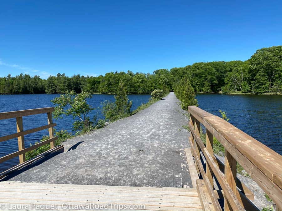
- Morris Island Conservation Area: I visited this lovely spot for the first time a few weeks ago. Tucked along the Ottawa River shoreline near the Chats Falls Generating Station and Fitzroy Harbour, it offers six kilometres of trails, including the accessible 1.8-kilometre Causeway. You can read more in my post about Morris Island.
If you prefer an urban stroll, check out my walking guides to New Edinburgh, Old Ottawa South, the Cultural Trail in Hull or outdoor art in Westboro.
I have a few gaps in my geographic knowledge of Ottawa hiking spots, particularly in the southwest. Here are three often-recommended places that I haven’t had the chance to check out personally yet.
- Chapman Mills Conservation Area: This small conservation area on the eastern edge of Barrhaven has 1.5 kilometres of trails along the Rideau River.
- Cedar Grove Trail (Marlborough Forest): The City of Ottawa owns Marlborough Forest, a large wooded tract off Roger Stevens Drive on the city’s southwestern edge. As far as I’ve been able to tell, Marlborough Forest doesn’t have an official website, although the Rideau Trail Association does have a free downloadable map. And the Ottawa Field-Naturalists’ Club has published a report on a club hike through the forest with lots of details on plants, butterflies, frogs and more.
- Baxter Conservation Area: This greenspace along the Rideau River in Kars has 5 kilometres of hiking trails, but I’m particularly keen to check it out because it is home to the Filmore R. Park Nut Grove. I’ve never (knowingly) been to a nut grove, but I like the sound of it. (You’ll find some 30 different species of nut-bearing trees there, including hickory, hazel, walnut, gingko and black cherry.)
Hiking within an hour of Ottawa
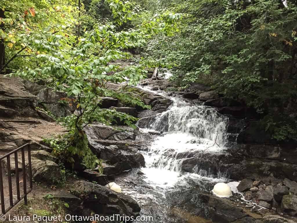
- Gatineau Park: It’s pretty much impossible to talk about hiking in the Ottawa area without mentioning Gatineau Park, the Outaouais jewel in the NCC’s crown. And it’s also impossible to sum up its 183 kilometres of trails in a few sentences! So I’ll recommend one of my favourites: Trail 36, a 3.25-kilometre loop that takes you from the P11 parking lot (near Meech Lake) to the ruins of a generating station built to provide energy to make fertilizer in the early 1900s.
- Ferguson Forest Centre, Kemptville/North Grenville: I discovered this gem a few years ago. It’s a stone’s throw from downtown Kemptville, but it feels worlds away. The 1,100-acre property includes a tree nursery, an arboretum, a fish sanctuary, a dog park, a picnic shelter, woodlands, wetlands, marshes and 22 kilometres of trails. You can even paddle to the forest via Kemptville Creek. While you’re in town, you could also try my one-hour walk in downtown Kemptville.
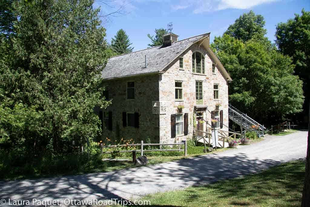
- Mill of Kintail Conservation Area, Almonte: This is a great hiking destination if you also enjoy history and art. As well as exploring six kilometres of largely gentle trails, you can drop into the namesake mill in summer to check out a museum focusing on two famous Almonters (Almontians?): artist R. Tait McKenzie and basketball inventor Dr. James Naismith.
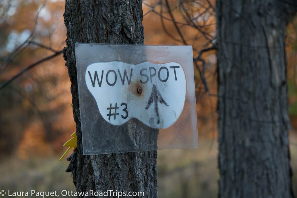
- High Lonesome Nature Reserve, Pakenham: This spot is well named, as it’s very quiet and a bit of a local secret. In fact, there’s not even a parking lot; you just drive to the trailhead and park on the side of the road. The site’s eight kilometres of trails wind through 200 acres of woods and wetlands that are being restored to their natural state after years of logging and farming.
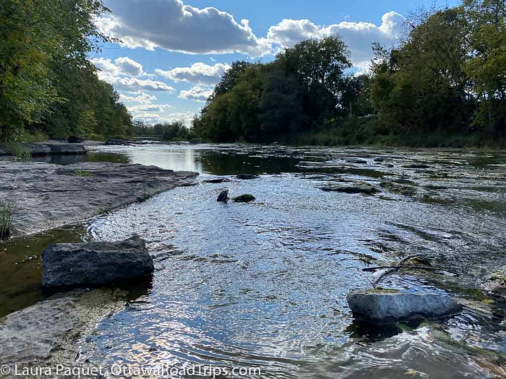
- W.E. Burton Conservation Area, Russell: This small woods in Russell is a good choice for families, as the trails are short (just three kilometres in total) and largely flat, but they still offer some nice views of the Castor River.
- Larose Forest, Limoges/Bourget: This is a huge managed forest—it stretches across some 11,000 hectares, with over 200 kilometres of trails and roads. It dates back to 1928, when it was first planted with conifers to battle soil erosion. Today, it is the province’s second-largest community forest and boasts more than 18 million trees.
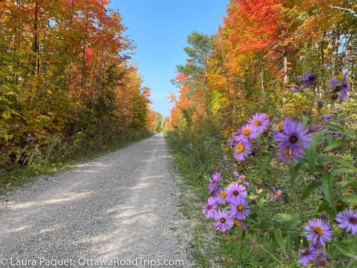
- Cataraqui Trail, between Smiths Falls and Strathcona: This 104-kilometre rail-to-trail conversion is a largely flat route that cuts through parts of Leeds-Grenville, Frontenac, and Lennox and Addington counties. It’s a shared-use, year-round trail. Note that snowmobiles and mobility scooters are permitted, but ATVs are not.
- Gillies Grove, Arnprior: To explore this little slice of nature in downtown Arnprior, as well as adjacent Robert Simpson Park, you can follow a 2.7-kilometre trail that will also take you along the shores of the Ottawa and Madawaska rivers.
Hiking within two hours of Ottawa
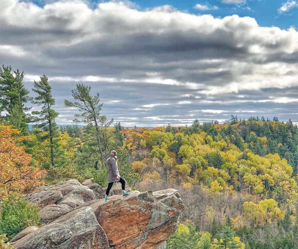
- Manitou Mountain, Calabogie: This is a more challenging hike that I haven’t tried myself yet. A nine-kilometre trail offers forest, mountain and water views; the Township of Greater Madawaska has more details. Again, please visit during off-peak times to avoid crowds and trail damage.
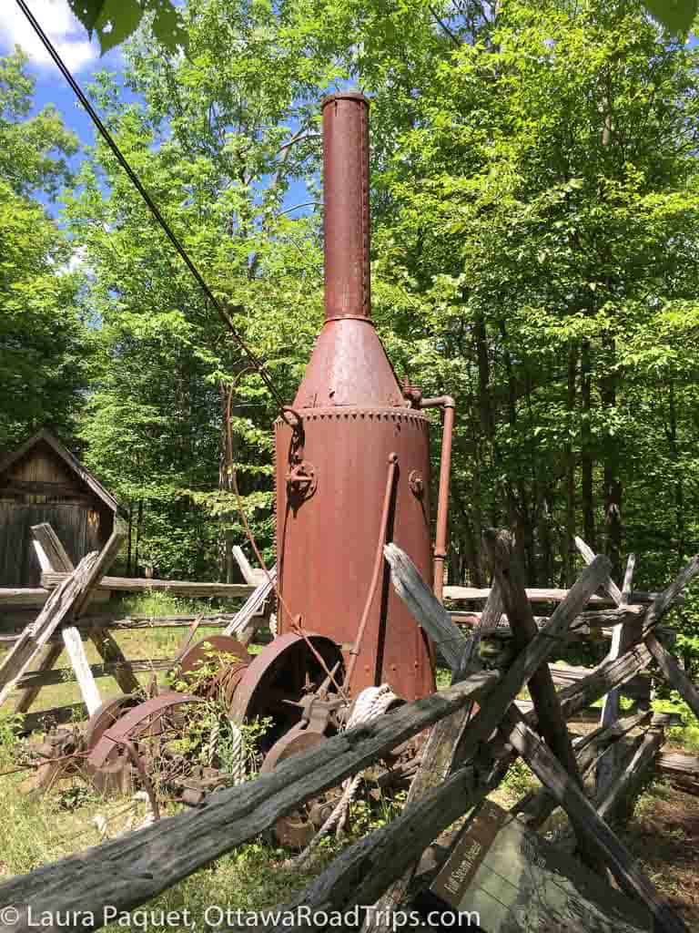
- Silver Queen Mine Trail (Murphys Point Provincial Park), Perth: This is another good bet for hikers who like to mix a little history into their outdoor adventure. In the first two decades of the 20th century, miners dug for mica, feldspar and other minerals here, before abandoning the site back to the forest. Today, you can take a self-guided walk past the equipment, an old bunkhouse and more, learning from interpretive plaques along the way.
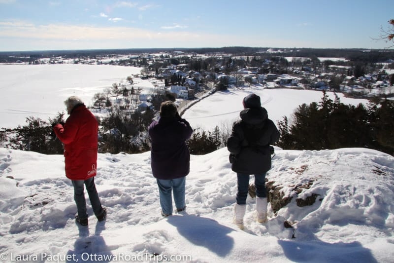
- Foley Mountain Conservation Area, Westport: Every time I drive into Westport from the north along County Road 10, I catch my breath as I come over a big hill and see the town far below, on the shore of Upper Rideau Lake. I always want to take a photo, but there’s not a good place to pull over. The best photo op I’ve found, by far, is from the hiking trails in Foley Mountain Conservation Area. The sign for the conservation area is just to your left as you come over the hill.
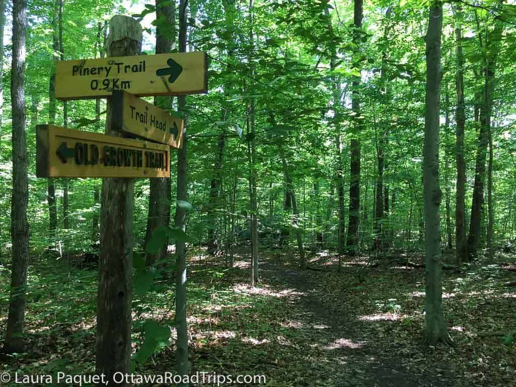
- Shaw Woods Outdoor Education Centre, Eganville: With 14 kilometres of trails across over 200 hectares, Shaw Woods provides lots of hiking choices, but perhaps the biggest attraction is the 50-hectare stand of old-growth forest. It’s rare in our region, because many areas of Eastern Ontario were once extensively logged.
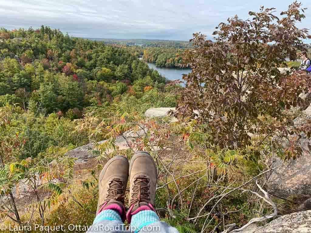
- Rock Dunder, Lyndhurst: I’d heard about this place for years before I finally made it out there recently. Blink and you’ll miss the entrance off Highway 15, just south of Morton. Rock Dunder has become crazy popular, to the point where you now need to buy a timed ticket in advance (so please treat the well-loved trails with extra caution). What’s the attraction? The fact that you can enjoy gorgeous views of the Rideau Lakes without a ton of effort; I’m no athlete, but I managed the moderate trail to the lookout above fairly easily. (You’ll definitely want hiking boots to tackle the rocky hills and many tree roots.) Open from mid-May to mid-November.
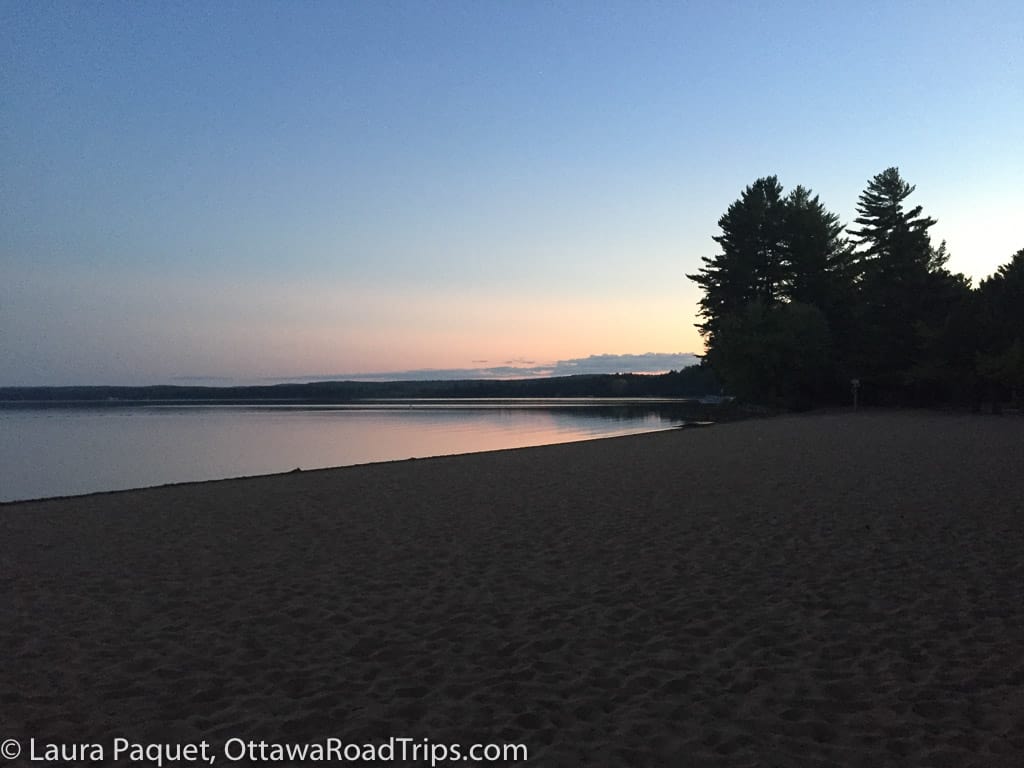
- Bonnechere Provincial Park, Killaloe: The McNaughton Trail is a two-kilometre loop through the park that lets you learn about local history, including Indigenous traditions, from interpretive panels along the route. You can also explore a network of 10 other trails along the Little Bonnechere River. This park is a good choice if you’d like to camp, swim or fish as well as hike; if you stay overnight, you can enjoy quiet sunsets and sunrises on the beach.
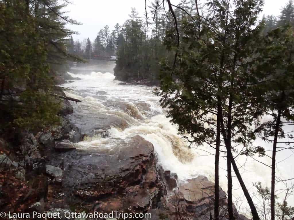
- Chutes Coulonge, Fort Coulonge: As well as hiking trails that take you to the namesake waterfall, this park in the Pontiac region of the western Outaouais boasts ziplines, an obstacle course and a logging museum. You can also test your nerve on a via ferrata—a system of cables and harnesses that lets you climb along rock faces even if you’re not an experienced rock climber.
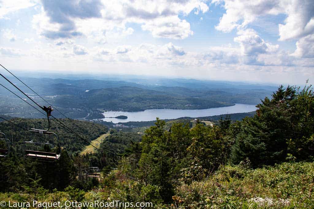
- Mont Tremblant: Sure, it’s best known as a skiing destination in Quebec’s Laurentians, but the mountains are fun to explore even when they’re not covered in snow. And the best part for less-hardy hikers? You can take a ski lift partway up and still enjoy spectacular views.
Looking for more ideas for things to see and do in Ottawa-Gatineau, Eastern Ontario and the Outaouais? Subscribe to my free weekly newsletter!

11 comments
Wow! My family and I were on the same Beechwood tour a few weekends ago as the one pictured in this blog. I recognized the person’s hair in the picture! We really enjoyed exploring the cemetery and learned so much from the guide.
It was a great walk, wasn’t it? Glad you enjoyed it!
Thanks for the great and unique recommendations! We went to High Lonesome Nature Reserve this weekend and even stopped off at Cartwright Springs Brewery (which is 2km down the road from the trail entrance) ~ they don’t advertise much, nor are they in the LCBO/Beer Store, so that would be a nice addition to include in your post if people are headed that way!
You’re welcome, Kay! Glad you enjoyed High Lonesome. And, yes, Cartwright Springs is a great place, and very close! I’ve mentioned them in the Pakenham chapter of my new book–and I should add them here, too. Good suggestions!
[…] Hiking and walking in and around Ottawa […]
[…] The forest is largely flat, making it a good choice for novice hikers. It’s the biggest forest in the entire Greenbelt, so you can hike for hours. Leashed dogs are welcome, and the nearby Conroy Pit is a well-known off-leash dog park. (P.S.: Looking for other in-town hiking ideas? Check this post.) […]
[…] bus at Conroy and Park; there’s a trailhead just south of the bus stop.) Here are my tips for great hikes in and around Ottawa, on both sides of the Ottawa […]
[…] you love to hike? Check out my big guide to local hikes and walks, or my post about an easy day hike at Morris Island Conservation Area in Fitzroy […]
[…] Looking for more ideas? Check out my extensive guide to local walks and hikes. […]
[…] hiking is your game, don’t miss my extensive guide to walking and hiking in Ottawa, Eastern Ontario and the Outaouais, which has information on these and many other […]
[…] many more ideas, see my guide to hiking and walking, my guide to cycling, my list of 40+ beaches in and around Ottawa, the wonderful local hiking site […]