One of many things I love about Ottawa is the fact that it’s so ridiculously large. It clocks in at a hefty 2,778 square kilometres—bigger than Luxembourg, Mauritius, Singapore or Dominica (thank you, Wikipedia). As a result, you’ll find many spots within the city limits that feel far from the urban hubbub. On a recent outing, my friend Amy and I explored one such place: Morris Island Conservation Area, bordering the Ottawa River in Ottawa’s far west end (156 Morris Island Drive, Fitzroy Harbour). The 70-kilometre drive took about 50 minutes from downtown Ottawa.
Arrive early to beat the crowds
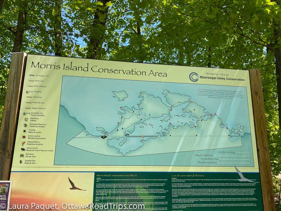
When we reached the parking lot at about 9:45am on a sunny Saturday, many of the parking spots were already taken. A four-hour parking pass costs $6 from the ticket machine near the trailhead (coins or credit only). At the entrance, you’ll also find an accessible washroom, along with large signs providing details on the conservation area’s trails, flora, fauna and history. (Tip: Snap a photo of these sorts of signs with your phone whenever you start a hike. That way, you always have a trail map with you.)
Morris Island has six kilometres of trails
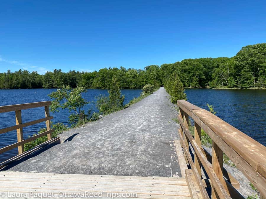
To begin, we set off along one of Morris Island’s most distinctive features: the flat, 1.8-kilometre Causeway, originally a railbed. The train line was relocated in the 1920s to accommodate construction of the Chats Falls Generating Station, now operated jointly by Ontario Power Generation and Hydro Québec.
The Causeway is accessible for visitors using strollers, wheelchairs and other non-motorized gear. However, much of it is gravelled, which may make it less than ideal for some types of wheels.

In all, the 47-hectare conservation area has six kilometres of hiking trails, and we eventually picked up the Chats Falls Trail to get a better look at the river and the generating station. The trails off the Causeway were slightly more rugged, with a few minor, manageable hills, exposed tree roots and rocky outcrops.
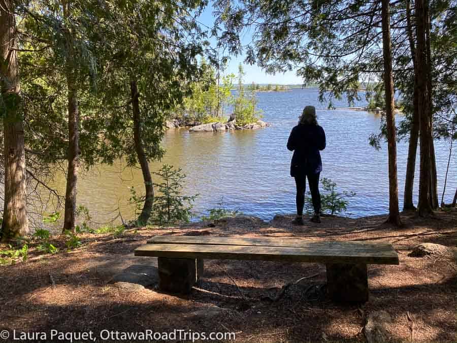
We discovered multiple scenic viewpoints overlooking the river, and we spent quite a bit of enjoyable time debating which geographic features were visible in the distance.
Flowers, wildlife and paddling at Morris Island
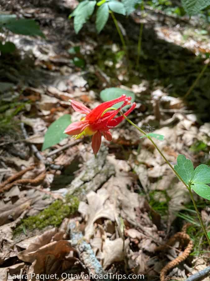
We also had some lively discussions about the wildflowers blooming below the trails’ canopy of sugar maples, white birches and other trees. Fortunately, a phone app called PlantNet came to our rescue, helping us identify (we think) red columbine and lesser yellow lady’s slipper.
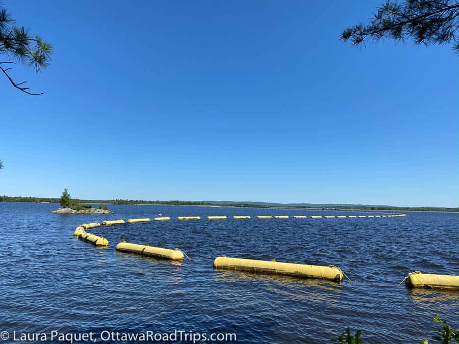
For paddlers, Morris Island has several boat launches along its sheltered bays. (Boating in the open area of the river is prohibited, due to currents from the dam.) Bring your binoculars to look for shorebirds hunting for food in the shallows, as well as turtles sunning themselves on rocks and logs. Amy spotted a cluster of turtles from the Causeway and, once she steered my gaze in the right direction, I saw them, too. It was hard not to; as Amy observed, they were the size of dinner plates.
Make a day of it: A café, a museum and a ferry
If you want to expand your visit into a full-day trip, you could drive 17 kilometres west to Arnprior, where I can highly recommend the morning buns at Mighty Fine Bakehouse (79 Madawaska Street, Arnprior). Alternatively, you could head back toward central Ottawa and stop en route at The Diefenbunker: Canada’s Cold War Museum (3929 Carp Road, Carp). Finally, if the Ontario-Quebec border is open, you could take the car ferry from Fitzroy Harbour to Quyon, Quebec, and explore the Pontiac region of the Outaouais before following Highway 148 east to Gatineau.
For more information on Morris Island Conservation Area, see the Mississippi Valley Conservation Authority’s website.
Looking for more day tripping ideas? Subscribe to my free weekly newsletter and check out my guidebook, Ottawa Road Trips: Your 100km Getaway Guide.

8 comments
[…] Morris Island Conservation Area: I visited this lovely spot for the first time a few weeks ago. Tucked along the Ottawa River shoreline near the Chats Falls Generating Station and Fitzroy Harbour, it offers six kilometres of trails, including the accessible 1.8-kilometre Causeway. You can read more in my post about Morris Island. […]
[…] A morning of gentle hiking at Morris Island Conservation Area […]
[…] Report, Meg has an excellent 2018 post about winter hiking at Morris Island; you can also check out my post about Morris Island if you’re curious what the conservation area is like in the […]
[…] Island Conservation Area, 156 Morris Island Drive, Fitzroy Harbour (check out my post about summer hiking at Morris Island for additional details on the conservation area’s facilities and […]
[…] you love to hike? Check out my big guide to local hikes and walks, or my post about an easy day hike at Morris Island Conservation Area in Fitzroy […]
[…] Morris Island Conservation Area, Fitzroy Harbour, Ontario (pretty flat, nice views of the Ottawa River) […]
[…] Morris Island Conservation Area, on Ottawa’s western edge near Fitzroy Harbour, has six kilometres of hiking trails and a gorgeous location on the Ottawa River shore. The trails are mainly easy; in fact, one of them leads across a completely flat former railway causeway. Here’s my post on exploring Morris Island. […]
[…] else to do: You could go for a hike at Morris Island Conservation Area […]