Leaf-peeping trips, fall foliage outings, autumn leaves drives…whatever you call them, road trips to enjoy the fall colours in Ontario and Quebec are one of the highlights of the season for many people.
Wondering where to go? I’ve got you covered with this list of my fall colours favourites. For each place, I’ve suggested a few things you can enjoy when you get there—such as festivals, hiking trails, places to eat and historic sites.
I’ll freely admit that my definition of the “best” places for fall foliage is completely subjective! Please feel free to suggest your own favourites in the comments. I’m always looking for inspiration for new road trips. In particular, this post focuses mainly on Eastern Ontario, so I’d love to hear your thoughts on other good places for fall colours in Ontario as a whole.
Wondering when the colours will be at their peak? Check my list of fall foliage trackers.
Some of the photos in this post were taken in seasons other than autumn because, to be perfectly honest, I can’t clone myself and fall is a short season to get everywhere! In some cases, I’ve been able to get seasonal photos from other sources. In others, you’ll just have to use your imagination and paint those green trees golden and crimson in your mind’s eye.
Ready? Grab your keys, and let’s go!
Disclosure: This post contains affiliate links. In some cases, my accommodations were subsidized by hotels, tourism boards or parks authorities, none of which have reviewed or approved this post. All opinions are my own.
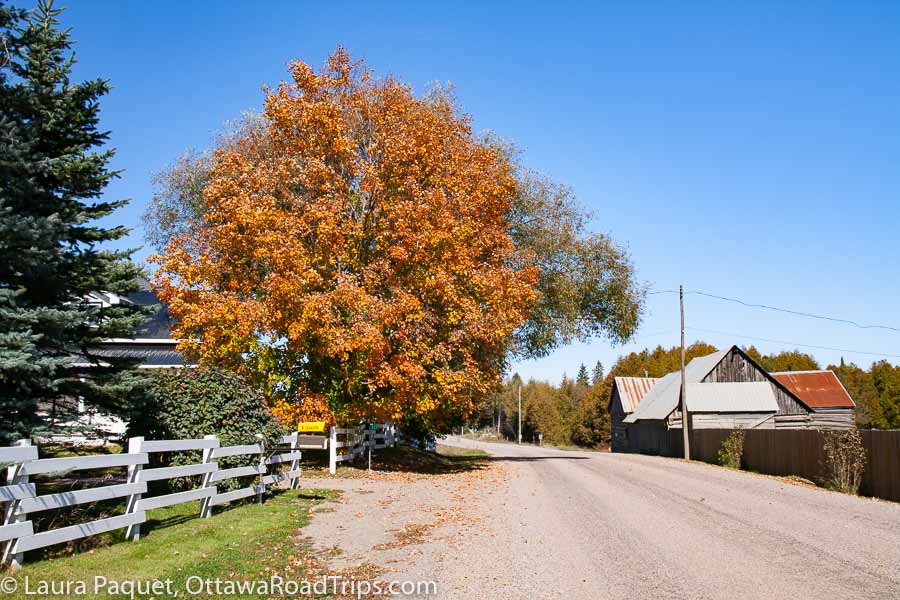
Table of contents
- Gatineau Park
- Lanark County
- Morrisburg to Long Sault
- Fitzroy Harbour
- Montebello
- Two observation towers in Quebec
- Fall colours along Highway 28
- Three destinations I recommend with caution (with alternatives)
- If you have a week: Agawa Canyon Tour Train, Sault Ste. Marie
- And, last but not least…fall colours in Ottawa!
Gatineau Park
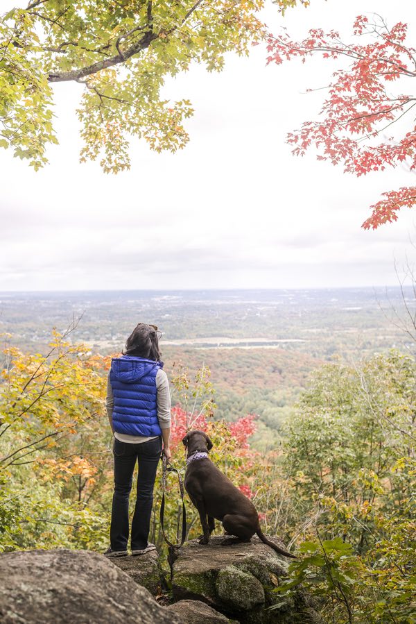
I’ll concede that this is a choice that will have many of you saying, “Well, of course, Captain Obvious.” Gatineau Park is at the top of many people’s favourite destinations for fall colours in Quebec for a very good reason: It’s gorgeous. Whether you choose to explore the collection of architectural ruins on the Mackenzie King Estate, admire the view of the Ottawa Valley from atop the Eardley Escarpment or hike the trail around the strikingly blue-green Pink Lake, you’ll be surrounded by fall colours.
However, here’s the hitch: On some days, the parkways are closed to private cars, but open to pedestrians and cyclists. So you may want to rely on the NCC’s free bus services:
- From May 17 until October 26, the NCC is running free shuttles on every day but Wednesday to multiple points in the park, including the Mackenzie King Estate and the Champlain Lookout. Weekend shuttles pick passengers up in downtown Ottawa and Gatineau, while weekday ones start and end at the Visitor Centre in Chelsea. Check the schedule closely before heading out!
- On weekends until October 26 (and holiday Mondays), you can take the Lac Philippe shuttle from the Montcalm station in the Hull sector of Gatineau, to the Visitor Centre in Chelsea, parking lot P16 and Breton Beach.
If you’re looking for amusements while you’re in the area, check out my beginner’s guide to Gatineau Park (which includes tips on things to do in Chelsea) and my complete guide to Wakefield.
Lanark County
Lanark County bills itself as the Maple Syrup Capital of Ontario, so it’s not surprising that this county immediately southwest of Ottawa is carpeted with maple forests. Here are four communities to visit to enjoy some of the prettiest Ontario fall colours.
Pakenham
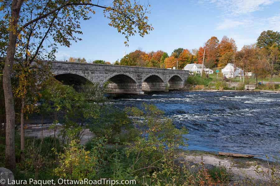
Pakenham is about 25 minutes west of the Canadian Tire Centre. If you take County Road 20 (Kinburn Side Road), be prepared for a gorgeous view from the top of a hill just before you reach the village. Below you will be the silvery bell tower of St. Peter Celestine Catholic Church, the Mississippi River and Pakenham’s landmark five-span stone bridge. Resist the urge to pull over for a photo, as this road can be busy! Instead, drive to the foot of the hill and park in the small public lot just to the right of the bridge (before crossing the bridge itself). From there, you can take pictures to your heart’s content, such as the photo above.
Almonte
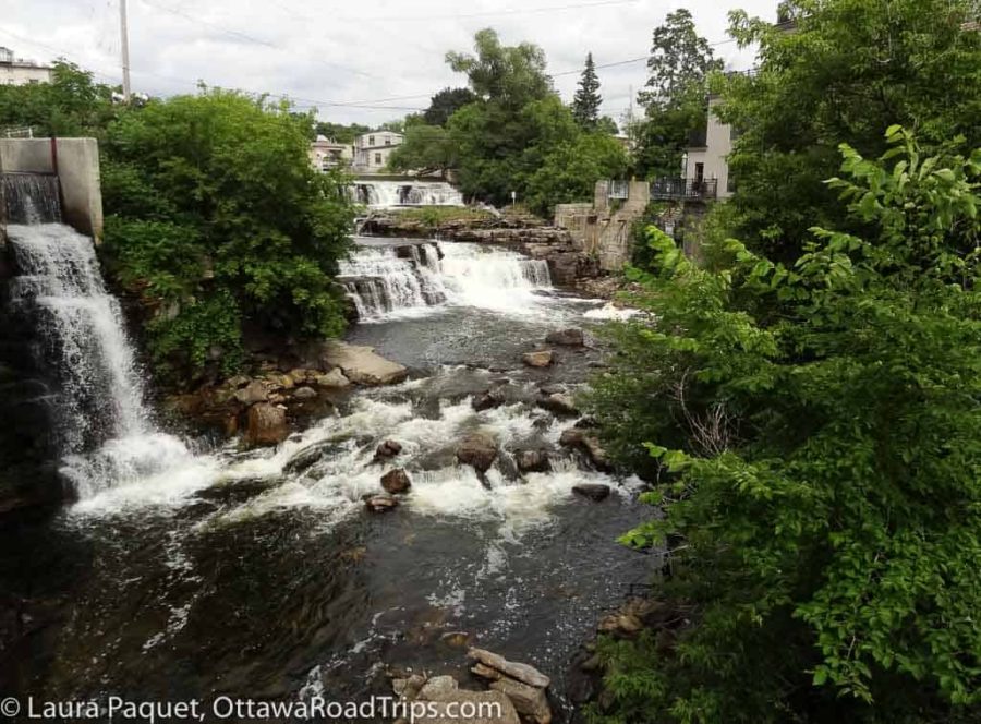
In Almonte, you can browse in shops galore, learn about the region’s industrial roots at the Mississippi Valley Textile Museum (3 Rosamond Street East) or get a cup of organic java at Equator Coffee (451 Ottawa Street). Seeking something stronger to bring home? Swing by Dairy Distillery (34 Industrial Drive) for a bottle of vodka distilled from milk by-products.
You’ll find more travel tips for this charming town in my day tripping to Almonte post.
Carleton Place
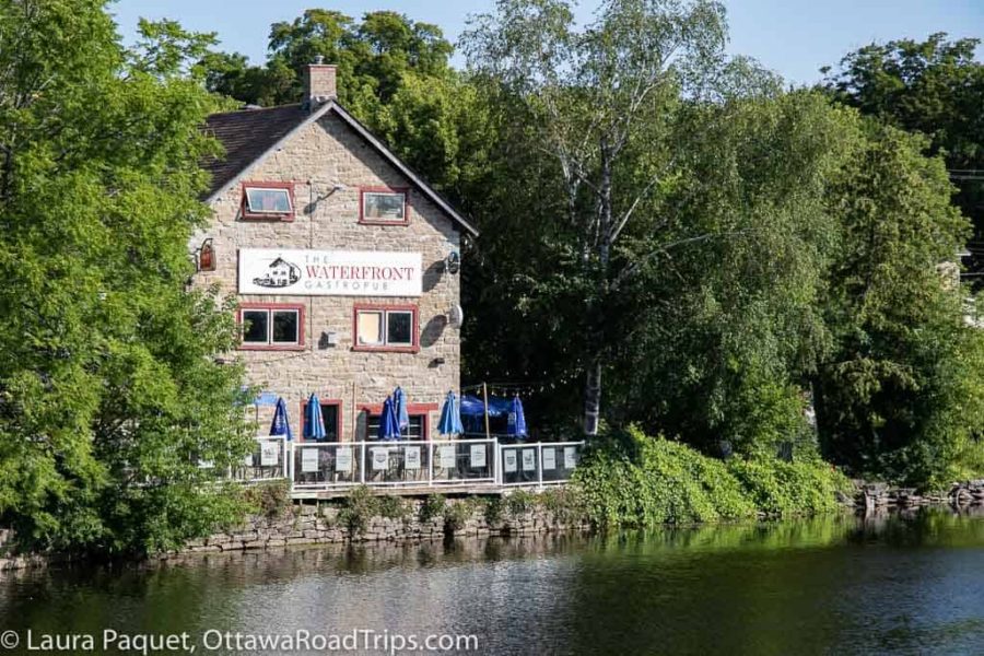
Take a contemplative walk through the free Carleton Place Community Labyrinth, right behind the Carleton Place and Beckwith Heritage Museum (367 Edmund Street), which is also worth a visit. If the day is warm, the outdoor deck at the Waterfront Gastropub (12 Bell Street) is a relaxing place to enjoy a view of the Mississippi River over breakfast, lunch or dinner. And while it doesn’t overlook the river, the food is outstanding at Black Tartan Kitchen (132 Bridge Street). On Saturday mornings until mid-October, check out the Carleton Place Farmers’ Market (7 Beckwith Street).
Want to extend your stay? The Grand Hotel (7 Bridge Street) is in a lovingly restored 1872 building that also houses the charming Smith and Barrel Pub—one of the only pubs I’ve ever encountered lit by chandeliers!
Looking for more things to do? My guide to Carleton Place has lots of ideas.
Perth
Perth, about an hour southwest of Ottawa, is one of my favourite day-trip destinations at any time of year. Downtown is full of cute shops; among my favourites are Strévé Design (64 Gore Street East) for locally made coats, capes, dresses and accessories (64 Gore Street East) and Riverguild Fine Crafts (51 Gore Street East) for pieces by local artisans.
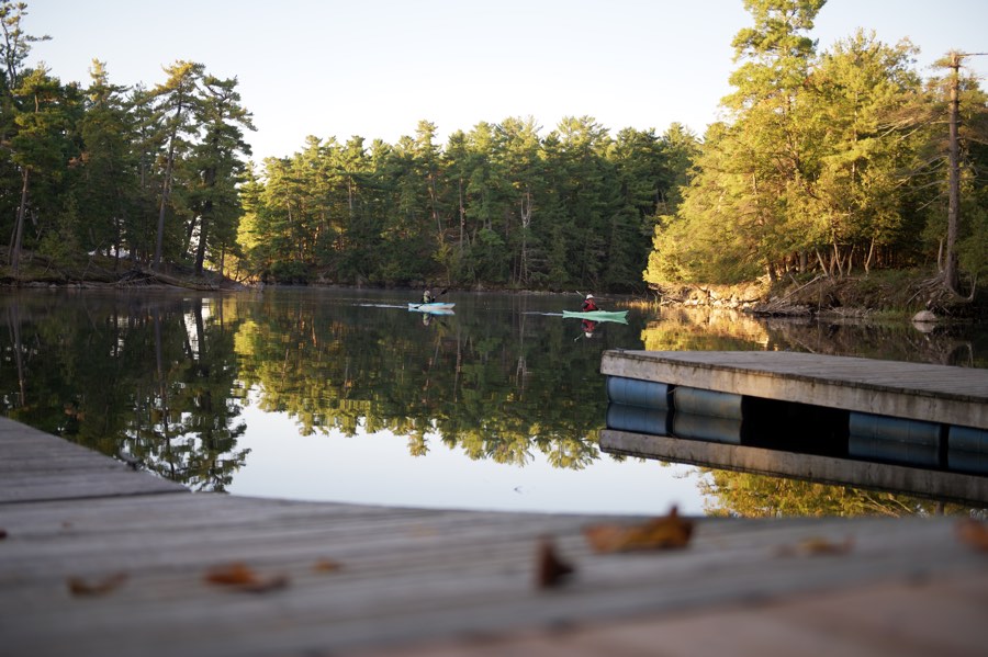
To get out into nature, head to Murphys Point Provincial Park on the outskirts of Perth (2243 Elmgrove Road), which is open until October 14, 2025, and then closed for a few months until it reopens for winter recreation on December 12. The park is home to a range of easy to moderate hiking trails; if you’re a history buff, check out the two-kilometre Silver Queen Mine Trail, which will take you to a now-abandoned early 1900s mica mine. It’s also a great place for paddling on Big Rideau Lake.
If you want to make a weekend of it, you could book a room at the Perth Parkside Hotel and Spa, overlooking pretty Stewart Park. Another lovely property is the Nevis Estate Boutique Hotel, located in a fully renovated heritage home.
Morrisburg to Long Sault
On paper, the drive from Morrisburg to Long Sault along the north shore of the St. Lawrence River takes about half an hour. But I guarantee you’ll spend much longer than that in fall, because there’s a ton to see and do—depending when you visit.
In Morrisburg, from September 4 to 28, you could catch a play called Hurry Hard (it’s a comedy about curling) at the Upper Canada Playhouse (12320 County Road 2, Morrisburg). From October 14 to 19, the theatre is presenting Senior Moments, a two-man show by East Coast comedy duo Marshall Button and Sandy Gillis.

On selected nights between October 3 and November 1, you can see thousands of carved artificial pumpkins arranged into artful displays—highlighted by great lighting and spooky music—during Pumpkinferno at Upper Canada Village (13740 County Road 2, Morrisburg). This event is extremely popular, so I advise buying your tickets in advance if you’d like to see it.
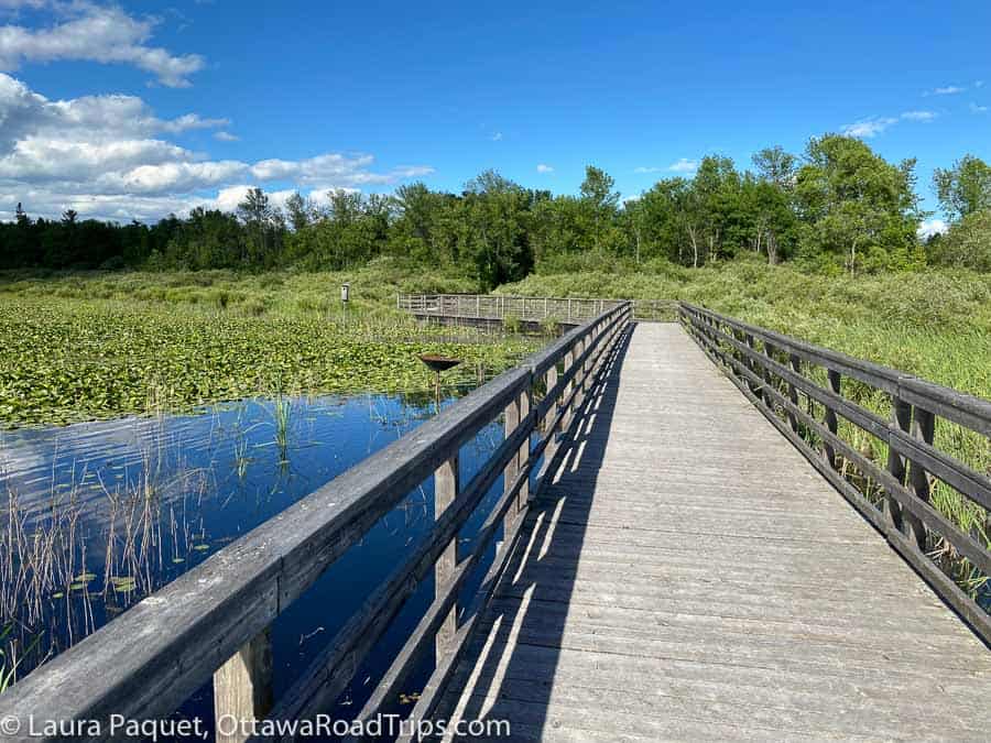
Year-round, you can bring your binoculars to spot all sorts of birds at the Upper Canada Migratory Bird Sanctuary (5591/5781 Morrison Road, Ingleside).
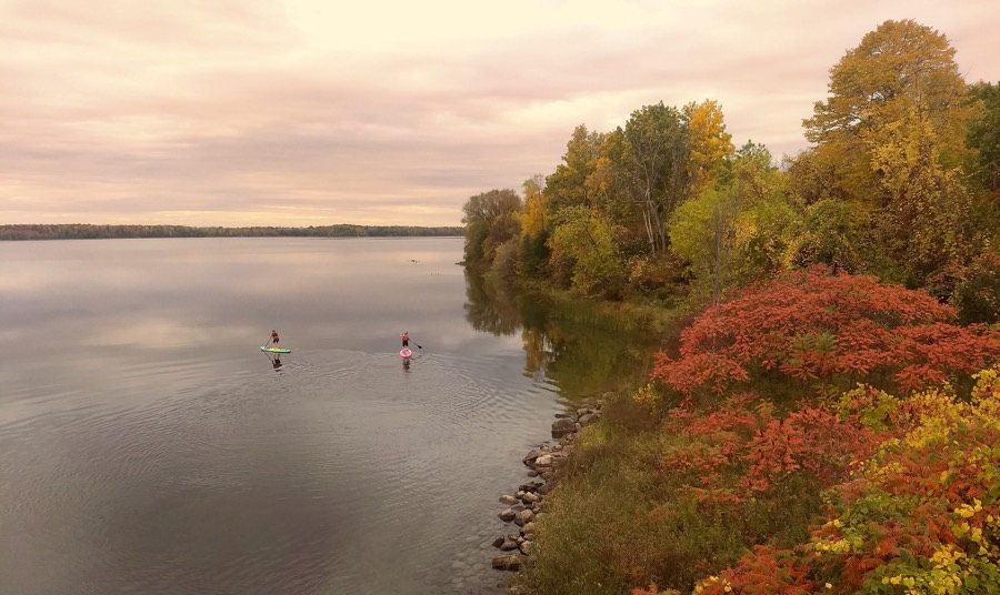
Until mid-November, you can drive across the stunning Long Sault Parkway, which connects 11 islands created during a planned flooding of the St. Lawrence River in 1958 to create the St. Lawrence Seaway.
Here’s a map of the route, which will take you through some lovely Ontario fall colours.
Fitzroy Harbour
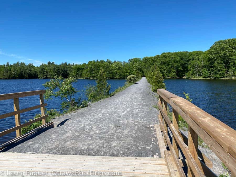
On this itinerary, you get to enjoy the fall colours in Ontario and Quebec!
Start the day on Ottawa’s far western edge at Morris Island Conservation Area in Fitzroy Harbour (156 Morris Island Drive). There, you can explore six kilometres of hiking trails, including a route along an old railway causeway. Note that there’s a parking fee of $7 per vehicle for four hours, payable by coins, debit or credit. The site also has picnic tables and washrooms.
If you’re in the mood for more nature, check out Fitzroy Provincial Park (5201 Canon Smith Drive), which is open for the season until Tuesday, October 14. You’ll need a day use pass (prices vary), which you can buy up to five days in advance on the Ontario Parks website or on the day of your visit at the gate. The beach on the Ottawa River is one of the main attractions here.
After your outdoor adventures, drive aboard the electric Quyon Ferry at the Fitzroy Harbour dock (5692 Ferry Road) for the five-minute trip across the Ottawa River to Quyon, Quebec. The one-way fare for a car and up to six passengers is $10.50, payable by cash or debit (no credit cards); fees for other vehicles vary.
There are a few small shops and cafes in Quyon, but the main attractions of this part of the trip are the views of the Ottawa River and the Gatineau Hills during the ferry ride and on the drive back to Ottawa along Quebec Highway 148. Without stops or heavy traffic, this round trip will take about 2.5 hours of driving.
Montebello
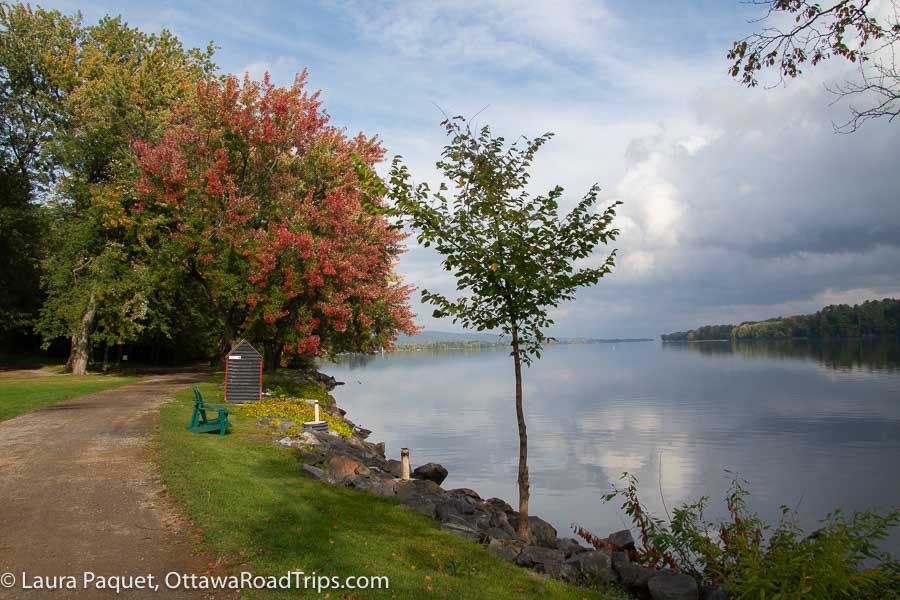
If you drive without stopping, the Quebec community of Montebello is about an hour from downtown Ottawa—but you may well want to stop along the way. For instance, about 20 minutes before you reach Montebello, you could take a quick side trip off Highway 148 to visit Parc national de Plaisance, a park on the Ottawa River known for its wetlands boardwalk, migratory birds and paddling spots. The park is open year round, but the visitors’ centre is closed from October 20, 2025, to April 23, 2026.
Even if you don’t detour to the park, you might drive a little more slowly than usual just because you want to soak up all the gorgeous views. As you get close to Montebello, Highway 148 slices through some spectacular rock cuts and offers lots of sweeping vistas of the Ottawa River.
Montebello is probably most famous for the posh Fairmont Le Château Montebello Hotel, one of the largest log buildings in the world, but there are lots of other reasons to visit. You can get truffles and excellent hot chocolate at Chocomotive, local cheese at Fromagerie Montebello (try the Tête à Papineau), craft beers at Les Brasseurs de Montebello and a tasty, casual lunch at Le Zouk. Leave time to visit Parc Oméga, a drive-through animal park just north of town.
For more details on these and many other Montebello attractions, see my guide to Montebello.
Two observation towers in Quebec
If you’d like to climb a tower for a fabulous view of Quebec fall colours, I have two quite different options for you.
Parc régional du Mont-Morissette, Blue Sea
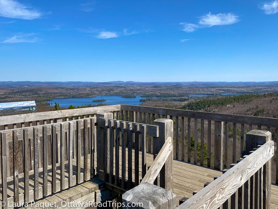
Parc régional du Mont-Morissette (35 chemin du Lac Long, Blue Sea) is in the Vallée-de-la-Gatineau region of the Outaouais, about a 90-minute drive from downtown Ottawa. It has three forested hiking trails, ranging in length from one to seven kilometres; the one-kilometre Trail 1 will take you to the base of an 18-metre-high wooden observation tower. (You can also drive to the tower base.) Admission and parking are both free. Once you reach the base of the tower, you’ll need to climb about 100 shallow stairs to the observation platform. You can learn lots more in my detailed post about Parc régional du Mont-Morissette.
Sentier des cimes, Mont-Blanc
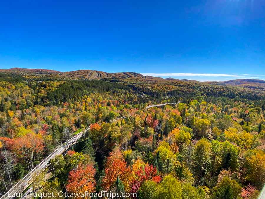
Much more elaborate (and expensive) is Sentier des cimes, a 40-metre-high observation tower just south of the Tremblant resort and about a two-hour drive from downtown Ottawa. On the bright side, it is fully accessible, as you reach it via a long boardwalk and ascend to the top via a long series of gently sloped ramps. There’s also a licensed café if you get the munchies. And, finally, the views of the fall colours of the surrounding Laurentians are superb.
If you go, I strongly advise you to buy your tickets in advance and to come early in the day on a weekday. This place is very, very popular. When I dropped in at noon on a Monday, there were already people on the small access road directing drivers in and out of the packed parking lots. Here’s my complete post about Sentier des cimes.
Fall colours along Highway 28
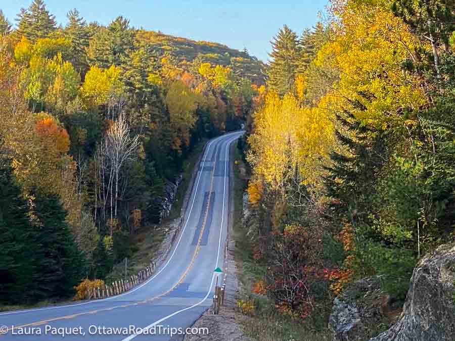
OK, “Highway 28” is pretty generic. After all, this Ontario road is 162.6 kilometres long (thank you, Wikipedia). However, I’m specifically recommending the section between Denbigh and Bancroft. And even more specifically, I’ll point you to the stretch between Denbigh and Hardwood Lake, which goes up and down like a roller coaster though the rock cuts and hills of the Canadian Shield. The landscape is spectacularly carpeted with fall colours that I swear are always some of the most vivid in Eastern Ontario.
You’ll feel as though you’re in a car commercial (but watch that speed limit, please!). At times, you’ll likely have the road all to yourself. That’s because, again according to Wikipedia, “East of Bancroft, there is relatively little human inhabitation, with the exception of a select group of communities located on or nearby the highway.” They aren’t kidding. I’ve been driving this road for decades, and I always call it “the empty middle of Ontario.” Make sure you get gas in Denbigh or Bancroft, because service stations in between are few and far between. Bring a podcast or audiobook, too, as this is also pretty much a radio dead zone. But who needs the radio when you have this scenery?
While you’re in the area: Just south of the junction of highways 28 and 41, you can get gas and takeout food (pizza, barbecued chicken, burgers) at Rosie’s Café and General Store (22353 Highway 41, Denbigh). Just off Highway 28 in Denbigh, Glaeser’s Country Store (156 Bridge Street) sells everything from milk and canned goods to fishing lures, art and motor oil. Saturday is usually bakery day (check Glaeser’s Facebook page to see what’s cooking).
Three destinations I recommend with caution (with alternatives)
By this point, you may be wondering: What about some of the most famous places for fall colours in Eastern Ontario? Why aren’t they here?
Here’s why: The three places below do offer amazing fall foliage. Unfortunately, they’re all in danger of being loved to death. In fall, they can be very, very crowded. If you do choose to visit them, I’ll offer the same caveats I offered for Sentier des cimes: Book everything in advance that you can, go early in the morning on a weekday and be prepared for crowds. Also, as I say for any outdoor destination: Take only photographs, leave only footprints. In other words, be a good wilderness citizen!
With those admonishments out of the way, I give you Eagle’s Nest, Rock Dunder and Algonquin Park (along with usually less-crowded alternatives for each).
Eagle’s Nest Lookout, Calabogie
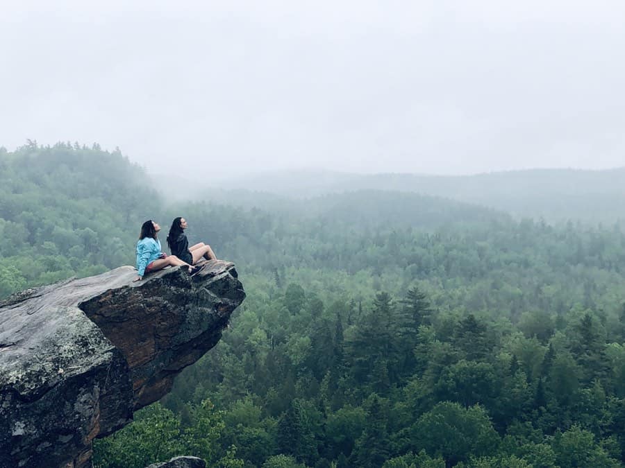
The photo above pretty much says it all about why people love the 2.7-kilometre, out-and-back Eagle’s Nest Trail near Calabogie. It’s a moderately challenging hike with an amazing reward: a sweeping view of seemingly endless forests from a rocky outcrop. However, it can be crowded, especially on fall weekends. You could beat most of the traffic coming from Ottawa by staying overnight at Calabogie’s sleek Somewhere Inn, which I reviewed in my big guide to Calabogie and Eganville. That way, you could head out early in the morning, when many hikers are just leaving Ottawa.
Alternative: Cup and Saucer Trail, Manitoulin Island
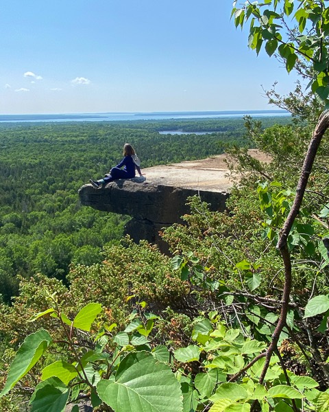
This is one of the two suggestions in this post that require a multi-day trip. So why, I hear you ask, would I recommend a seven-hour drive from Ottawa to hike the Cup and Saucer Trail? Because the eight-kilometre loop trail—known in Anishinaabemowin as Michigiwadinong, or “bluff shaped like a spearhead”—culminates in an even more dramatic rocky outcrop with an even steeper drop to the forests below. Another reason is that this trail is further from big population centres than Eagle’s Nest, meaning that the odds of it being crowded are lower. And finally, if you’re seeking an intermediate-level hike, this fits the bill, with a number of somewhat steep, rocky hills, some with rustic wooden staircases. Bring your hiking poles.
When I hiked the trail, I had an enjoyable stay at the Manitoulin Hotel and Conference Centre in Little Current, about a 20-minute drive from the Cup and Saucer trailhead. The hotel’s decor reflects local Indigenous traditions and the property can arrange outings and activities with Manitoulin Island Indigenous communities. (Whether you visit on a tour or on your own, don’t miss the excellent displays and workshops at the Ojibwe Cultural Foundation in M’Chigeeng.)
Rock Dunder, Morton
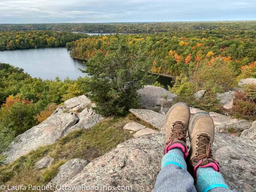
The Rock Dunder trail is another relatively short (3.9 kilometres) hike with a fantastic payoff—in this case, a super view of the Rideau Canal Waterway and the rocky Canadian Shield. In 2025, it’s open until November 15. Fall day passes (available for dates from September 2 to October 31) are $10 per person or $25 per family. You’ll find the trailhead off Highway 15, partway between Elgin and Seeley’s Bay, about 90 minutes southwest of Ottawa. And you can reward yourself for all that exercise with handmade chocolates from Ridgway Confections (159 Main Street, Seeley’s Bay).
If you’d like to stay in the area, nice independent hotels include the Cove Inn in Westport and the Hotel Kenney in Jones Falls.
Alternative: Frontenac Provincial Park, Sydenham
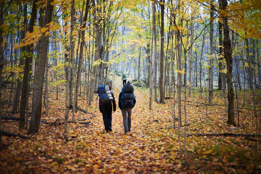
While still quite popular, Frontenac Provincial Park (6700 Salmon Lake Road, Sydenham) offers hikers a little more room to breathe and enjoy some lovely Ontario fall colours. Also located in the Rideau Lakes, Frontenac is about two hours southeast of Ottawa, and it’s open year round. If you like your adventure on the wild side, you can pitch a tent on one of 48 back-country campsites, choose from more than 100 kilometres of hiking trails or paddle through some of the park’s 22 lakes.
Algonquin Park
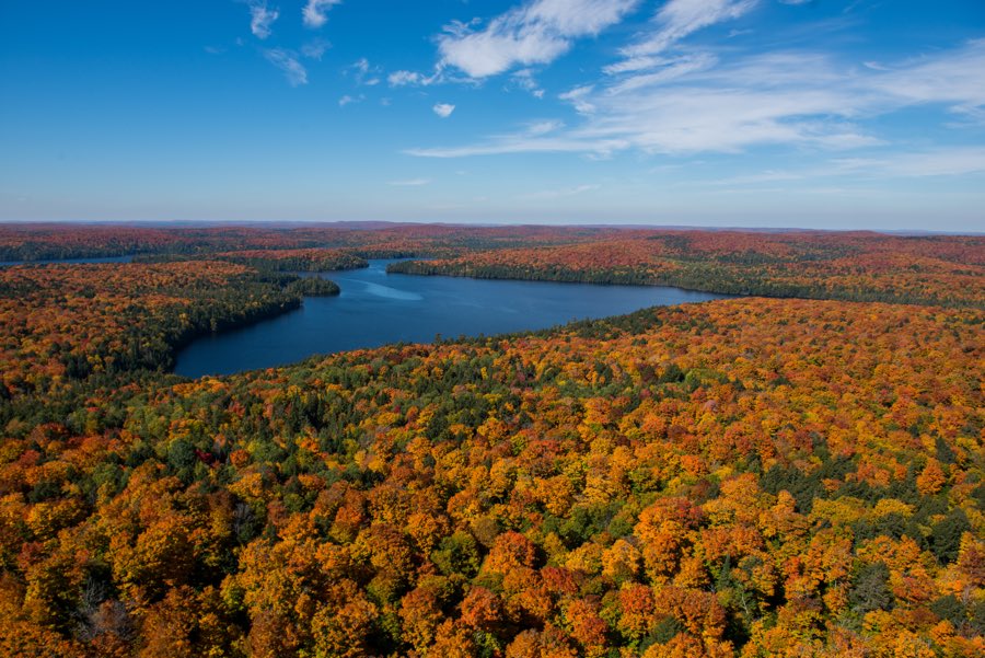
Tom Thomson and the Group of Seven came here. Explorers, loggers, researchers, photographers and authors have come here. (The park has apparently inspired more than 40 books.) Heck, people from all over the world come to see the fall colours in Algonquin Park. Why? Basically, it’s 7,635 square kilometres (2,948 square miles) of rocky Canadian Shield wilderness, crisscrossed by multiple rivers and peppered with more than 2,400 lakes. You can go canoe camping here and get seriously away from civilization, with moose, bears and wolves your nearest companions, or you can camp in fully serviced campgrounds closer to amenities. There are lodges, trails, historic sites, museums—this park has something for the secret explorer inside all of us.
However, if you build it, the leaf peepers will come. In droves. Check some of the photos below and you’ll see what I mean.

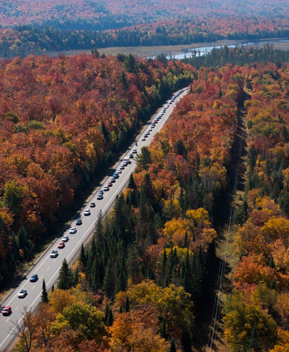
On the bright side, we’re somewhat lucky in Eastern Ontario in that the eastern side of the park is traditionally less busy than the west side, which is closer to the densely populated Greater Toronto Area. Algonquin Park’s East Gate is 244 kilometres west of Parliament Hill, or about a three-hour drive. Near the gate, you’ll find lots of services and amenities in the town of Whitney.
If you want to reduce your risk of encountering a traffic jam, you can try the park’s lesser-known Sand Lake Gate, which is 40 kilometres from Pembroke.
Finally, to really escape the madding crowds while getting your Ontario fall colours fix, you could head to one of the 29 backcountry access points. You’ll need some serious wilderness skills and gear if you venture very far from them, as there are few facilities in these areas of the park.
Opening and closing dates for the various areas of this huge park vary; see the park’s website for details.
Finally, a weird side note: The park is officially known as Algonquin Provincial Park, but for some reason, no one ever calls it that.
Alternative: Bonnechere Provincial Park, Killaloe
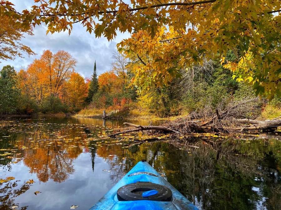
As the crow flies, Bonnechere Provincial Park is just a stone’s throw south of Algonquin Park (look on the map below, if you don’t believe me). But since none of us are crows, you’d have to drive an hour from Bonnechere to get to Algonquin’s East Gate.
Driving directly from downtown Ottawa, Bonnechere Provincial Park is about 185 kilometres from Parliament Hill. It will take you about two hours to get there, if traffic is good.
It’s true that Bonnechere is a fraction of the size of Algonquin, and it doesn’t have some of its more famous cousin’s dramatic lookout points and trails. What it does have is a pretty beach on Round Lake, some short and easy hiking trails, three campgrounds, and—a boon for this non-camper—four rustic cabins you can book. Each of the cabins sleeps four and comes with amenities such as a microwave, barbecue, bar fridge and air conditioning. They are “rustic,” though, so there’s no running water. To answer the call of nature, you’ll need to visit the nearby outhouse or hike to the comfort station near the campgrounds, where you’ll find showers and flush toilets.
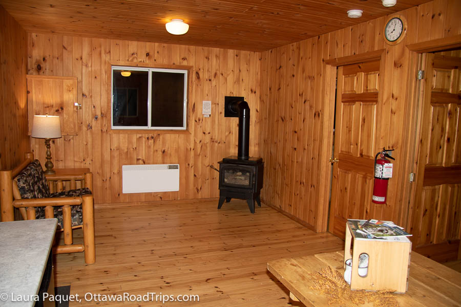
Want to enjoy the Ontario fall colours at Bonnechere while still luxuriating in all mod cons? The park does have one cabin, Pine Shores Cottage, that sleeps six and comes such amenities as a TV, a full-sized fridge and indoor plumbing.
In 2025, Bonnechere Provincial Park is open until October 19.
If you have a week: Agawa Canyon Tour Train, Sault Ste. Marie
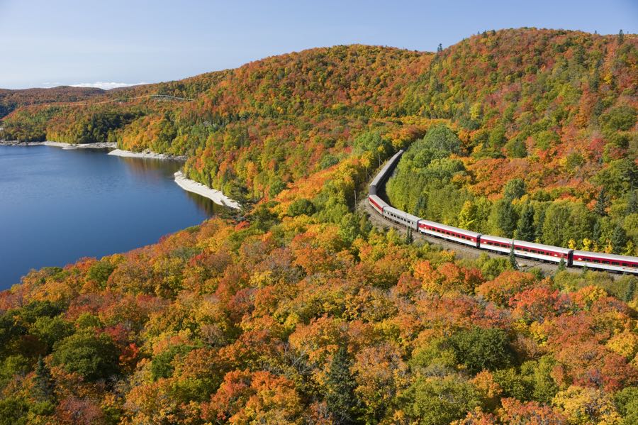
Looking for an extended road trip this fall—about a week, if you don’t want to rush it? Then I highly recommend driving to Sault Ste. Marie to take the Agawa Canyon Tour Train.
Act quickly if you want to climb aboard this justifiably celebrated tour train: The peak season is mid-September to early October, and tickets sell out fast. The is a 10-hour, round-trip excursion through northern Ontario forests to Agawa Canyon Wilderness Park. The train and hiking trails are the only ways to get to the isolated park, an expanse of forests, cliffs and waterfalls that inspired the Group of Seven painters. (Artist J.E.H. MacDonald once compared it to the Garden of Eden.)
The day-long trip starts and ends in Sault Ste. Marie, about an nine-drive from Ottawa. Sure, that’s a major journey, but along the way you can admire the fall colours in Ontario along the Upper Ottawa Valley and the northern edge of Georgian Bay. (If you have lots of time to spare, you could even detour to Manitoulin Island to try the Cup and Saucer Trail I mentioned earlier.)
The Delta Hotels Sault Ste. Marie Waterfront is a nice place to stay before and after your train trip. It has a scenic location overlooking the St. Mary’s River, two restaurants (including a nice boardwalk patio spot) and an indoor pool, and the hotel is a two-minute drive (or 10-minute walk) from the Agawa Canyon Tour Train station.
And, last but not least…fall colours in Ottawa!
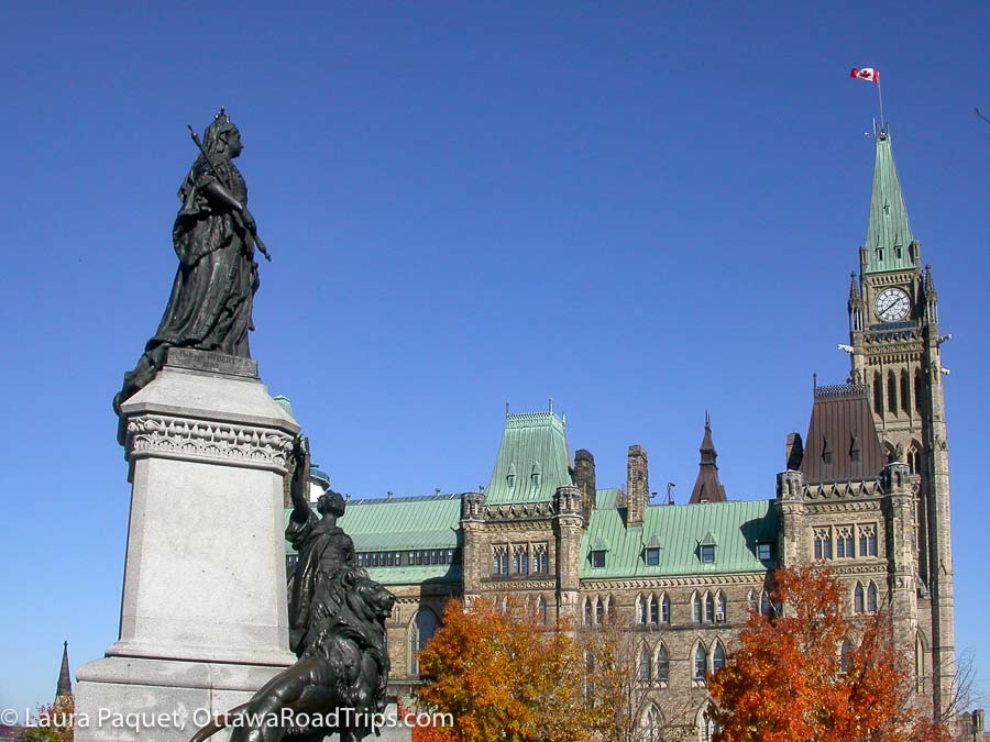
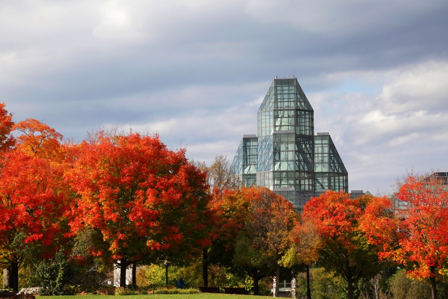
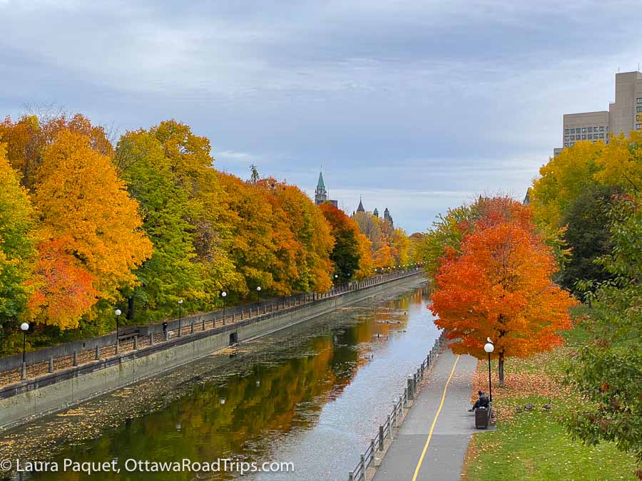
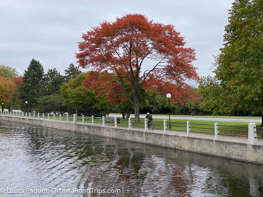
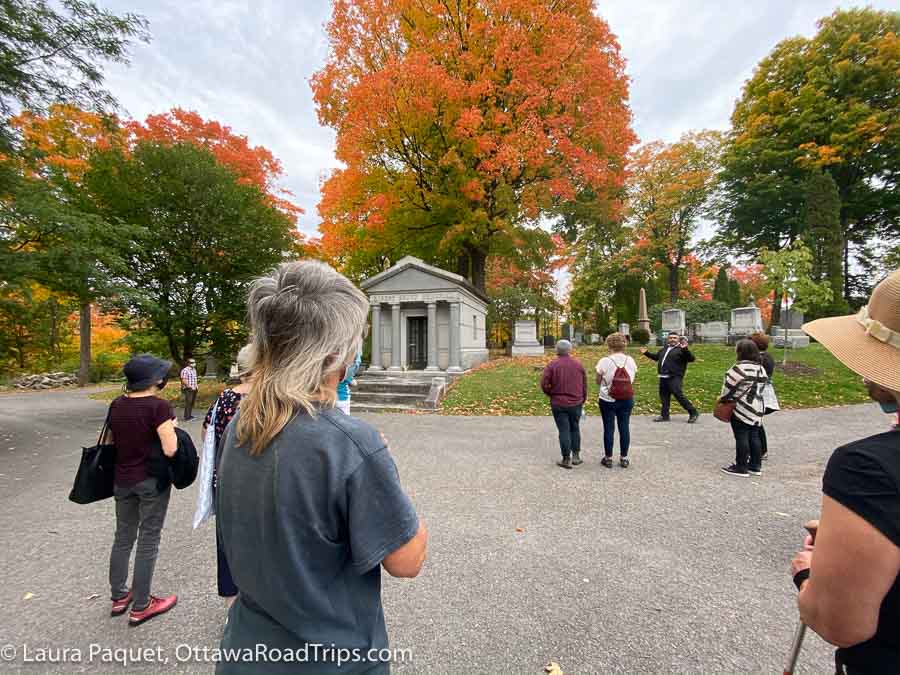
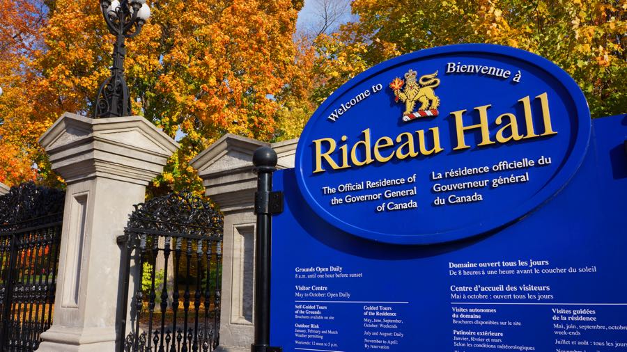
If you don’t have wheels or don’t want to drive, that doesn’t mean you don’t have lots of leaf-peeping options. Ottawa itself has many scenic spots where you can snap photos of the autumn leaves. I’ll let the photos do the talking for this last section.
Looking for more tips on things to see and do in Eastern Ontario, the Outaouais, northern New York state and beyond? Subscribe to my free weekly newsletter or order a copy of my book, Ottawa Road Trips: Your Weekend Getaway Guide.
As the owner of Ottawa Road Trips, I acknowledge that I live on, work in and travel through the unceded, unsurrendered territory of the Algonquin Anishinaabeg Nation. I am grateful to have the opportunity to be present on this land. Ottawa Road Trips supports Water First, a non-profit organization that helps address water challenges in Indigenous communities in Canada through education, training and meaningful collaboration.

2 comments
[…] P.S.: Speaking of fall, don’t forget to check out my post outlining lots of great spots to enjoy the fall colours. […]
[…] And don’t forget my post about gorgeous fall leaf-peeping trips! […]