Did you know that the Long Sault Parkway—a little over an hour from Ottawa—skips across 11 islands and is within a pebble’s throw of 10 communities intentionally submerged at the bottom of a river?
If you didn’t know about the Long Sault Parkway, you’re not alone. I’m constantly surprised by how few people are aware of this beautiful attraction that’s practically on our doorstep. In fact, I’d been writing about local day trips for at least a decade before I became aware of it myself.
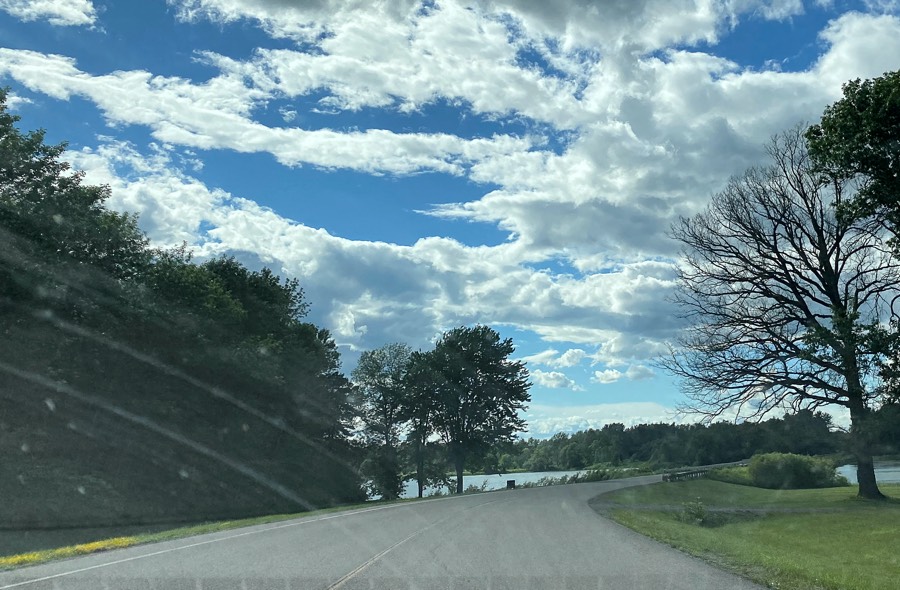
The Long Sault Parkway stretches 10 kilometres along the St. Lawrence River from Ingleside to Long Sault, Ontario. It opened for the season on April 15 and usually stays open until late fall. You can enter the parkway at either end from County Road 2, and there’s no entry fee for the road itself. While it’s primarily a driving route, the parkway is open to cyclists and pedestrians, too, although the shoulder is narrow in places.
Pitch a tent or hit the beach
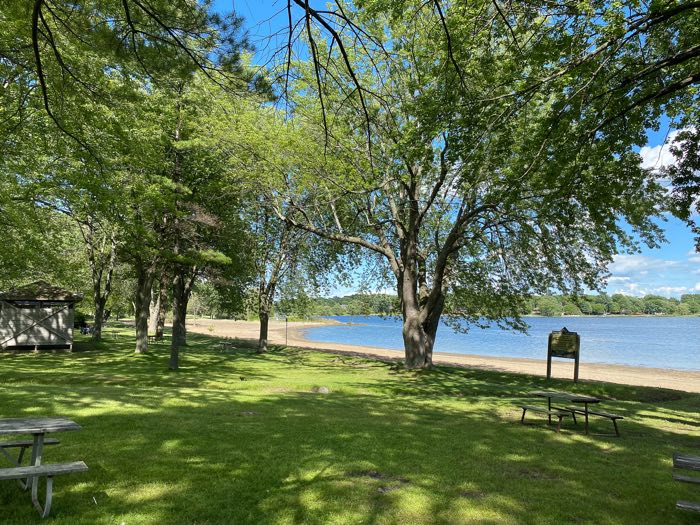
You’ll find three campgrounds and two beaches along the Long Sault Parkway. The two beaches, Woodlands and Mille Roches, each have extensive picnic areas as well. Mille Roches, the largest beach on the St. Lawrence River, is a particularly pretty stretch of sand.
To access the beaches and picnic areas, you’ll need to buy a day pass, which in 2025 costs $4.44 for cyclists and between $9.74 and $18.58 per vehicle.
And while the three campgrounds offer more than 600 campsites in total, spots are in high demand, so book as early as you can. Camping fees start at $39.99 a night.
Learn about the Lost Villages
The 10 communities submerged forever beneath the St. Lawrence Seaway are known collectively as the “Lost Villages.” It’s a fascinating yet sad story.
In the 1950s, the Canadian and American governments collaborated to build the St. Lawrence Seaway, a channel deep enough to easily handle ocean-going ships. The project required some 20,000 acres of land on the Canadian side to be flooded. As a result, about 6,500 people were relocated from nine communities and one island settlement, many to Long Sault and Ingleside. Workers also moved 530 buildings, but many other homes, schools and businesses were simply torn down.
Then, on July 1, 1958, the planned flooding began. Four days later, what was left of the Lost Villages was almost completely submerged beneath the river’s waves. Only the highest points of land remained above water. Those are now the islands connected by the Long Sault Parkway.
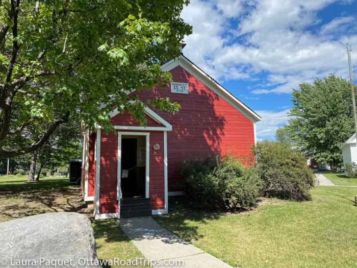
You can see some of the saved buildings and learn lots more about these vanished settlements at the Lost Villages Museum (16361 Fran Laflamme Drive, Long Sault). The museum is open from June 2 to August 31 in 2025, and admission is free.
Other things to do near the Long Sault Parkway
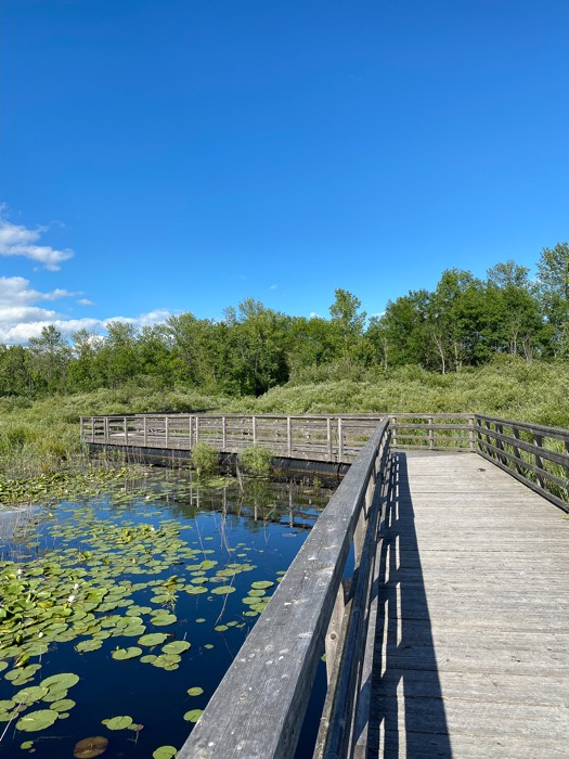
Looking for other things to do in this corner of Eastern Ontario once you’ve explored the Long Sault Parkway? Birdwatchers flock (sorry, couldn’t resist) to the Upper Canada Migratory Bird Sanctuary (5591 Morrisons Road, Ingleside). It has some lovely boardwalks that will appeal even to people who wouldn’t know a killdeer from a chickadee, and there’s also a campground.
If theatre is more your style, the professional Upper Canada Playhouse (12320 County Road 2, Morrisburg) is staging four plays from June through September, including the Norm Foster comedy A Woman’s Love List from June 5 to 29.
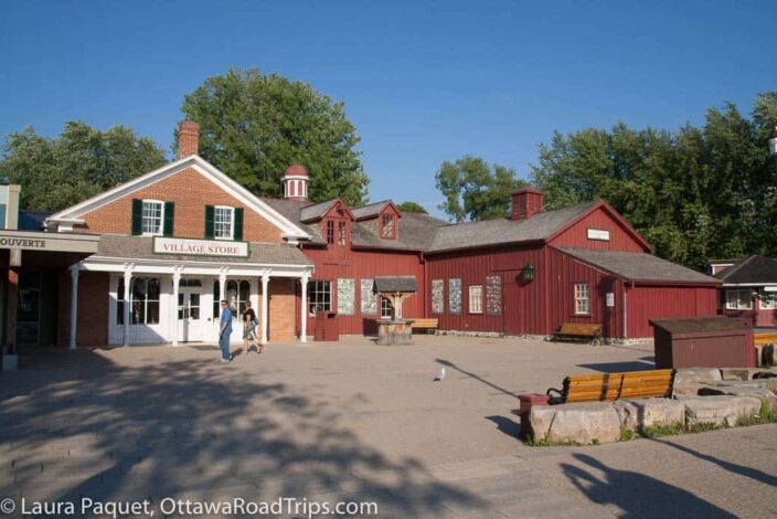
Just down the road, Upper Canada Village (13740 County Road 2, Morrisburg) recreates life in Eastern Ontario around the time of Confederation.
And if you’ve worked up a thirst with all of this sightseeing, drop into the Lost Villages Brewery (16133 County Road 36, Long Sault) for a refreshing beverage.
Accommodations near the Long Sault Parkway
Want to extend your trip? Use the map below to find places to stay near the Long Sault Parkway. Disclosure: If you book accommodation using the map below, I will receive a small commission, at no extra cost to you.
Looking for more tips on things to see and do in and around Ottawa? Subscribe to my free weekly newsletter or order a copy of my book, Ottawa Road Trips: Your 100-km Getaway Guide.
For more information
The Parks of the St. Lawrence has a page offering more information on the Long Sault Parkway.
As the owner of Ottawa Road Trips, I acknowledge that I live on, work in and travel through the unceded, unsurrendered territory of the Algonquin Anishinaabeg Nation. I am grateful to have the opportunity to be present on this land. Ottawa Road Trips supports Water First, a non-profit organization that helps address water challenges in Indigenous communities in Canada through education, training and meaningful collaboration.

2 comments
[…] Free park admissions, Ottawa patios, new… Heads Up: A new adventure park in Val-des-Monts… Long Sault Parkway: The scenic route you might… Heads Up: Festival of Small Halls, Outaouais camping,… Heads Up: Gatineau Park shuttle, royal […]
[…] tired yet? Just west of Cornwall is the pièce de résistance along this route: the Long Sault Parkway. This gorgeous road connects 11 small islands in the St. Lawrence, which were created when the St. […]